Showing posts with label scenic. Show all posts

Saturday, 25 October 2025

Regina to Bozeman, Montana

This will likely be a short post, as it was a long day of driving, I'm tired, and the Blue Jays are playing the Dodgers. They can't win if I'm not watching, right? Actually, early on the Dodgers are up 2-0. It's not that the Jays can't come back, but the Dodgers are a darned good team. Edited to add: I woke this morning to learn that our Jays beat up on the Dodgers 11-4! You can bet I'll be watching the highlights today.

In any event, I was up and out the door by 6:30 this morning. It was dark in the city, but within the 20 minutes it took to reach the south end, the sun was beginning to make itself know to the east. How pretty is that?


The border crossing was easy. I was the only vehicle there, she asked a few questions, checked my passport and looked inside the back of the vehicle and let me go. I don't know if an I-94 was issued, but will check when I get to Yuma. If not, I'll need to apply for another form, a something, something 325. I recall the number, just not the name. All visitors to the US over 30 days are required to apply for one or the other. When someone flies, the first is automatically issued, but not so at land crossings. I didn't bother to ask...she didn't seem all that friendly.

I took Highway 16 south to Glendive, then joined the I-94 through to Billings. There was a stop in Glendive for fuel ($2.99 for a gallon - I'm too tired to do the math to tell you what that works out to a liter), and a second stop in Billings for another top-up. In total I spent less than $60 for the fuel, and have a little over a half tank to start the day tomorrow. There were other pit stops for potty breaks and something to eat, as the one rest stop I wanted was closed. I won't stop and use a washroom without purchasing something, so picked up a couple of Sprite for later. I had water in the car to drink, and picked up a sandwich for lunch.

The route from Billings to Boseman on I-90 is incredibly scenic. Lots of hills, a mountain pass or two (not too high), trains, cattle, and often a view of Yellowstone River. I took a couple of photos on the highway - just above the steering wheel so I didn't have to let go of it. I saw two police cars, one entering Billings, and another 20-30 miles out of Bozeman on the other side of the divided highway. The latter was moving fast with the lights flashing. I certainly hope it wasn't an accident, rather a speeder.

Speaking of which, the speed limits here are NUTS! On both interstates the limit was 80 mph for smaller vehicles, and semis were limited to 75 mph. I stuck to the truck limit most of the time and sometimes slower. I also stayed in the right hand lane unless I was passing a slower vehicle, and would often slow to their speed to allow faster moving vehicles to pass us both. I did not feel comfortable taking some of these crazy curves at such high speeds! 


Note there are no photos from Billings to Bozeman. We were in the more mountainous area with lots of climbs, drops, and curves, so I wasn't taking a hand off the wheel.

I reached Bozeman about 5:15 p.m., checked into the hotel and walked down the block and across the street to Applebee's for dinner. Goodness, there portions are large! I think I ate half of it, knowing I want to be in bed early tonight and I want to avoid heartburn in the middle of the night.

I've got the game on the television and will crawl into bed. If I fall asleep, so be it, I'll turn it off at some point. My goal is to be out of here between 7-7:30 in the morning. Tomorrow's stop is planned for Twin Falls, Idaho, about about a 7 hour drive. I may go into Nevada depending on my mood (and level of exhaustion!) I won't do more than 8 hours of driving though.

Thanks for following along! 


Thursday, 17 July 2025

Off to Baddeck, via New Glasgow, Arisaig, and Antigonish.

The next few days involved more driving. After four nights we checked out of the hotel in Bedford, saying see you later, with the Cabot Trail Motel in Baddeck our planned destination for the night.

We had lots of time, as our driving time would have been around 4 hours, and we weren't scheduled to check in until 3 p.m. Though the Pomquet Beach outside Antigonish was on the spreadsheet, it was a cool, cloudy day with rain in the forecast, so we decided to forgo the beach day and find other spots to visit along the way.

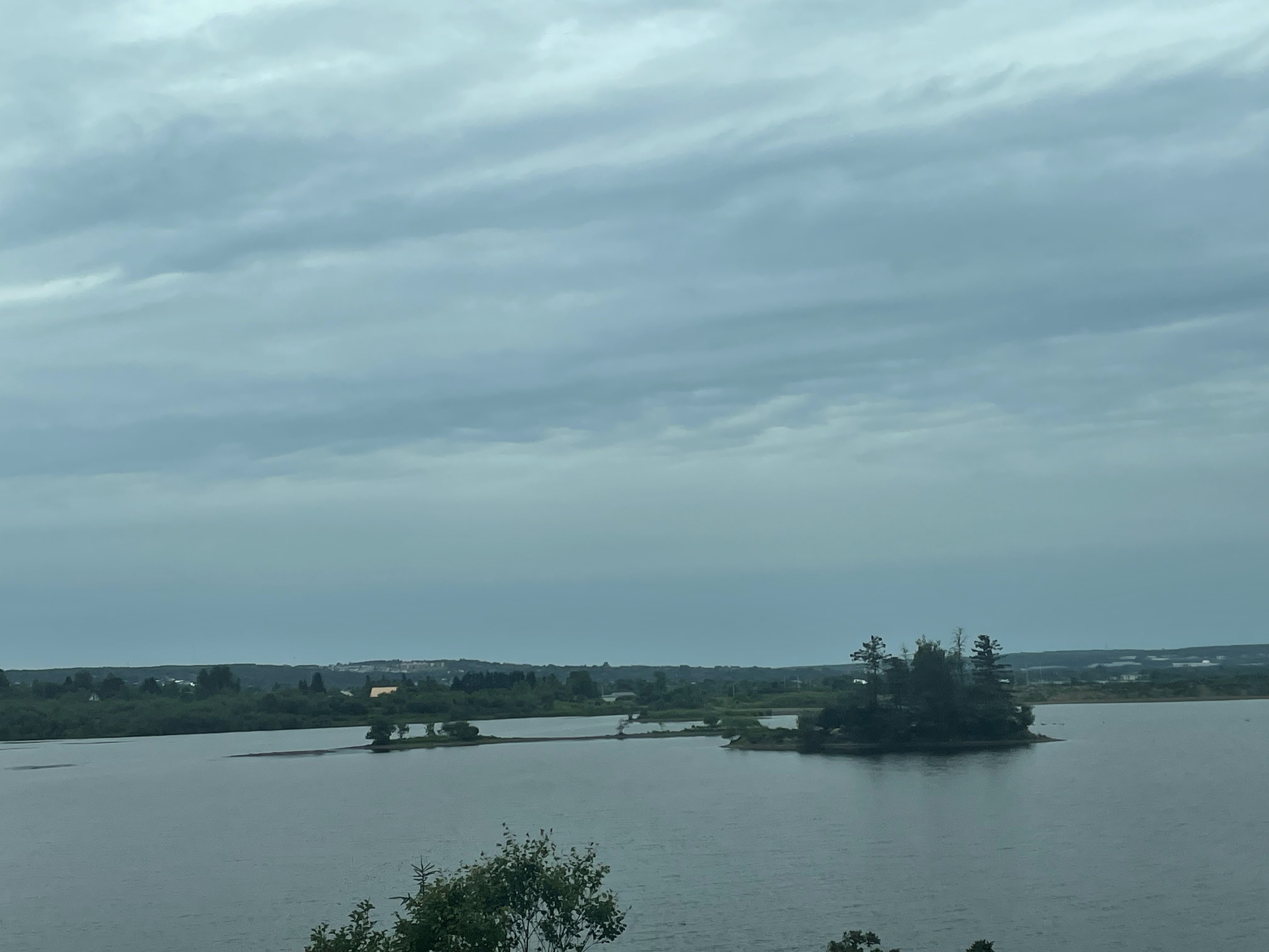
But first of all, here are a few photos of the scenery along the highway. I can't tell you exactly where we were, but do know the photos were taken before we reached New Glasgow.


D did some research on the "Google machine" and came up with a historical house in New Glasgow, the Carmichael-Stewart House Museum. Built in 1880, the house was a wedding gift to James Matheson Carmichael and his bride, Christian Matheson from his parents. His eldest daughter, Maria Carmichael inherited the property. She married Robert Bruce Stewart. The couple had no children and on their passing, the house was bequeathed to the Town of New Glasgow. Maria passed away in 1959, Robert in 1962.


We happened to arrive on the day the museum officially opened for the 2025 season. The staff were busy setting up for the event which included the renaming of the property as the Pictou County History Museum.

We were welcomed in, admission was by donation. One of the staff shared some information with us about the history, and provided a quick tour of the main floor. In addition, she told us they were having a scavenger hunt, and we happily agreed to take part. We were provided a sheet of paper with clues as to where to find the rocks that had pictures attached and off we went to explore. 

The museum holds artifacts including household furniture, glassware, tools, toys, tools, and guns. Eli found a pair of wooden swords in the children's bedroom and was told to go ahead and play with them. (That surprised me). We found most of the rocks inside the house, and then headed outdoors to the garden and yard to find even more of them. When we returned indoors, the staff member was kind enough to point us in the direction of the last one or two we were missing. Eli was presented with a prize for being the first to complete the scavenger hunt. It was a fun stop and I think we all enjoyed it.

Leaving New Glasgow we started on our way to Antigonish. Again D did a little research and found a unique option, the Arisaig Lobster Interpretive Marine Life Centre. The centre offers touch tanks, a scaled down lobster fishing boat, and lots of information about the lobster fishing industry. There were two young men working the day we arrived. One, was the grandson of a man who built many of the boats that were used in the area for lobster fishing. His father recently sold his fishing license as this young man plans to go to university to become an engineer. The second young man had just graduated two days prior from highschool and was planning to go to university in the fall as well. 

The biggest draw was the lobsters in the touch tank. They were various colours, blue, green, and brown. (I didn't think to ask why. Their claws were banded shut, but the critters were still aggressive towards one another. Sadly, neither D nor I got a decent photo of the tank. The best I can offer is the mounted lobster. According to the note, it weighed about 20 pounds, and was thought to be about 40 years old.

Nearby was the Arisaig replica lighthouse. The original burned down in 1939, but was rebuilt by local volunteers in 2007. It contains an ice cream shop on the lower level. Had it been a warmer day, we might have enjoyed a cone. We did, however, enjoy the views from the shoreline.


Leaving Arisaig, we continued on to Antigonish where we stopped at the Peace by Chocolate store. Originally from Syria, the Hadhad family lost their chocolate factory in Damascus in a bombing in 2012. They originally fled to Lebanon, later found their way to Canada, where they built their business in Antigonish, Nova Scotia. If you ever have the opportunity to taste their chocolate, I can assure you it is delicious. We bought a couple of bars to bring home with us, and each picked out a single chocolate to enjoy in the car as a treat.

Since we were planning to stay one night in Antigonish a couple of days later, we decided to wait to do more exploring then. We headed for the main highway, and I did an oopsie mistake, taking the wrong exit. We were off course for probably 15 minutes or so before our GPS maps gave us a reasonable option to return to the highway. (There were a couple of roads it suggested we turn on that looked a wee bit suspect to me).


We arrived at the motel mid-afternoon and were ready to get out of the car. Our room was up on the hill above the main office and restaurant. The view of Bras D'or Lake was lovely. The lake has a connection to the Atlantic Ocean, but also has fresh water inflows - we learned the water is called brackish. Before we left the following day, D and Eli crossed the highway to put their toes in the water.

The motel did have a restaurant on site, but we had passed by the Red Barn Gift shop and restaurant, a few minutes away. The meal was memorable, not only for the meal, but for D's interactions with several other guests. A couple came in shortly after we did, having ridden in on a motorcycle. They were from Quebec and spoke just a little English. D is functionally bilingual and was able to assist the couple and the waitress with their order. Later another group was trying to order dessert, and she assisted with that request as well. Back to our meal, would it surprise you if I said I ordered fish and chips? Both D and Eli had French fries a well, and we all agreed they were the best we'd had on the trip. After a brief stop in the gift shop, we headed back to the motel for a good night's sleep.

We had big plans for the next day!

Monday, 29 April 2024

Aruba - March 19 (Part 2)

 I'll start where I left off on the last post, on our drive to the Natural Bridge in the Arikok National Park. The highway ends part way into the park, when it turns into a gravel road. I recall our driver telling us the reason for this, but have forgotten.

The vistas outside the bus windows were simply amazing. As the next few photos were taken from the moving bus, they likely are little fuzzy.


The original natural bridge in the park collapsed in 2005. According to Wikipedia, it was 25 feet (7.6 meters) high, and 100 feet (30.5 meters) in length and a remnant of a cave.  The natural bridge we saw is called the Baby Bridge, for obvious reasons, with a span of 25 feet (7.6 meters) and only 3 feet (.9 meters) above sea level.

I walked onto the bridge and took photos from that vantage point.

Looking out towards the Atlantic ocean on my left

Watching the waves crash against the shore to my right.

I turned to take a photo of the ocean again, just as a wave crashed into the bridge.

I got sprayed and tasted the salt of the ocean.

Smaller waves hit the formation on my right, with the sea water from the higher waves pouring off the shelf that was hidden.


I have many photos (too many to share) of this particular spot as I was fascinated by the height of the waves and the force with which they reached the shore.

One last photo of the pool under the bridge.

Then it was time to board the bus for one more stop at a discontinued gold mine/smelting plant.
This was a stop I could have done without as it was very hot, overrun with tour groups, and frankly, not that interesting (at least to me).

The interior was full of debris, and while others attempted the climb to the top floor, I stayed on the ground. I'm a klutz and climbing over and on rocks and stones is a sure way for me to sprain an ankle.

On the ocean side, there was a rather desolate looking series of rocks piled up, I suspect by other tourists.


The lighting wasn't great for photos, and there seemed to be haze in the air that was obvious even as we walked around the site.

Our drive back to the port was long, as traffic was backed up for some time. I was happy to get back to the ship to shower and change for our solo meet-up that evening. 

Sail-away that evening was late, about 9 p.m. I wandered down to Deck 7, just to watch for any last minute pier runners. While everyone arrived in time, there were a couple who squeaked in while the crew were starting to dismantle the ramps and barriers. 


Next up - Bonaire


Wednesday, 6 July 2022

Wordless Wednesday


Credit to my brother for this photo from late last week.

Wednesday, 15 June 2022

College Fjord and Hubbard Glacier, oh my!

College Fjord is so named because the glaciers of the fjord were given their names by John Muir, an Amherst professor and Harvard mineralogy instructor, Charles Panache, after various Ivy League schools. The glaciers of the northwest side feature the names of women's colleges, and the glaciers of the fork and the southeast side sport the names of men's colleges.

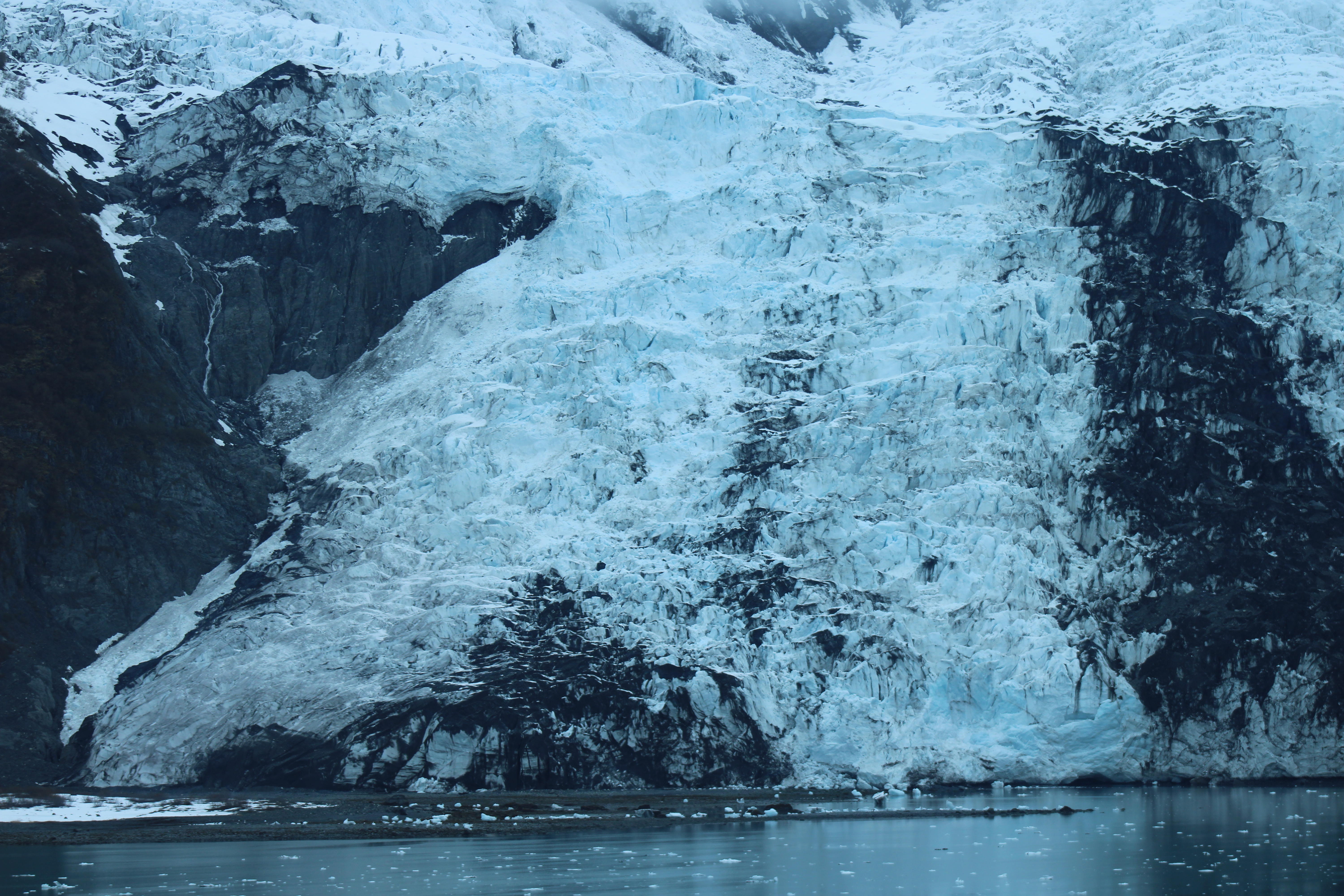
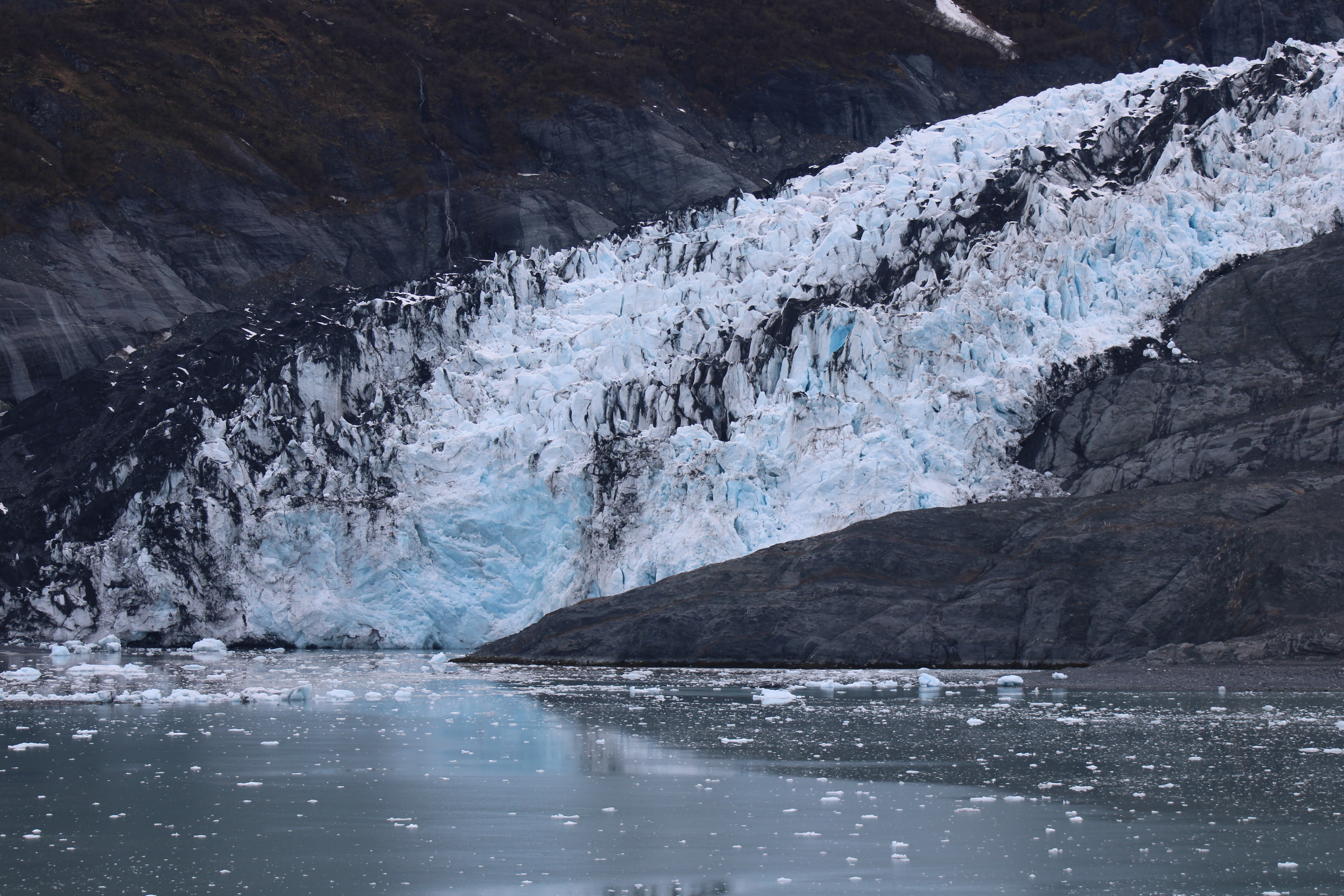
We visited College Fjord on May 13.  While it was a cool and gray day, I would suggest this was my favorite visit to the glaciers. There are currently five tidal glaciers to see and five large valley glaciers one can view, and the stark beauty was simply amazing. Since I cannot name any but one of the glaciers, I'll simply share some of the photos.


Just to break up the photos, here's a bit of wildlife.


The next few photos are of the Harvard Glacier.


We remained at the Harvard Glacier for about an hour, again with the captain turning the ship mid-way through.


It wasn't all snow and ice. At certain points these gave way to towering evergreens and waterfalls.

But then, at the next inlet there would be another glacier.

On our way southbound, on May 15 we had a chance to visit Hubbard Glacier. The glacier is considered the largest tidewater glacier, at 120 km (75 mi) long, and 11 km (7 mi) wide. Again, without my notes, I seem to recall we were told that the glacier is just over 60 meters or 200 feet tall at the ocean face. We were there on a day when the glacier was calving. That was certainly evident by the number and size of the icebergs. The naturalist mentioned that 90% of the iceberg is actually under the water and these were huge! 


And then there it was in front of us. This is the right side of the glacier face.
This is the left of the face of the glacier. 

Capturing a photo of the calving is difficult. The fall happens and then the sound carries like thunder. I was constantly swiveling, hoping I'd catch the ice falling. 


I must admit to being a tad bit concerned by the icebergs. That evening I decided to have my dinner at Alfredo's, the pizzeria restaurant on deck 6. While I was eating my meal I could hear the ice hitting the side of the ship as we sailed out of the bay. Yikes!

When I ran into him one day, the naturalist had mentioned at one point, that we were fortunate as the ship's captain was very good at getting us as close as possible to the glaciers. I guess Captain Tuvo knew what he was doing.  

I should note too, that unlike many of the glaciers, Hubbard Glacier, continues to increase in mass and advancing further into Disenchantment Bay. It is believed that the size of the glacier's catchment basin, which extends into Saint Elias Mountains, allows for the accumulation of snow and melting snow that flows down to the terminus in the bay. It is one of the few glaciers that is considered stable. 

The cruise I took was called the Voyage of the Glaciers, and it did not disappoint. Whether sunlit or shrouded by the clouds overhead, the glaciers are a reminder of a time when much of Canada and parts of northern United States were covered by ice. Today, only remnants of these glaciers exist in the Rocky Mountain National Park. Tidal and valley glaciers are limited to Alaska, Antarctica, Greenland, Svalbard in Norway, and Patagonia in South America. I can only feel truly fortunate to have been able to make this trip of a lifetime. 

I'll have one final post to wrap up my thoughts and then we'll be back to regularly scheduled programming. Thanks for coming along with me.